A to Z – HIGHLIGHTS OF SOUTH DERBYSHIRE PART 1
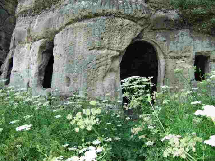
ANCHOR CHURCH
The church is set in a sandstone crag on the banks of the River Trent about one mile from Ingleby off the A514 (SK339272). It is a fascinating place, partly natural and partly enlarged by man. The cave was used by Sir Frances Burdett of nearby Foremarke Hall who extended it and fitted a door so that during the summer he could hold picnics there for his guests. It is now a popular spot for walkers.
ASTON-ON-TRENT
Aston lies on Derbyshire’s side of the River Trent that divides the county from Leicestershire. It remained very much of an agricultural village until the 1960s when modern developments began to take over and farmhouses became private dwellings. The land in the area is very fertile and in the 17th century was described by historian Philip Kinder as ‘the granary of Derbyshire’.
On the north side of the village, the brickyard and plaster pits for many years represented the most important industry other than farming. Most of the older houses in Aston have been built using bricks from the works, which remained in operation until the early 20th century. Production at the plaster pits, situated behind the brickworks, lasted for approximately 150 years before coming to an end between the two World Wars.
In 1940, when German planes were attempting to bomb Rolls-Royce, a decoy set up a short distance from the village by three old-age pensioners produced first-rate results. From a small dug-out, the men operated a light visible from the air, which the German pilots mistook for their target and released 200 high explosives and incendiary bombs which fell on open land. The pensioners returned elated and unharmed, the only damage being to some greenhouse windows at Shardlow.
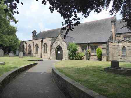
BARROW-ON-TRENT
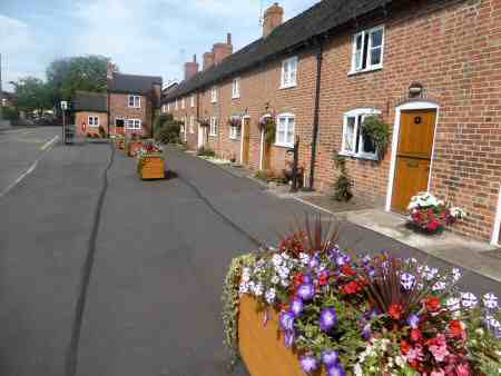
It is a well-kept village, just off the A5132 to the west of Swarkestone, with its 18th-century parish cottages and a pretty lane leading down to the River Trent. Most of the village lies within a conservation area, which includes several attractive buildings. The appealing Lodge Cottage, standing by the former main gate to Barrow Hall catches the eye. St Wilfred’s Church, a Grade I listed building dates from the 12th century. The war memorial is of considerable interest as the village sent more men than any other of its size to the frontline in the First World War.
Another interesting feature in Barrow is the string of parish cottages, known as ‘The Row’ that was built as a result of a parish levy. They were first to let at a rent of 30 shillings (£1.50) a year. The parish council still keeps them in a good state of repair.
BOULTON
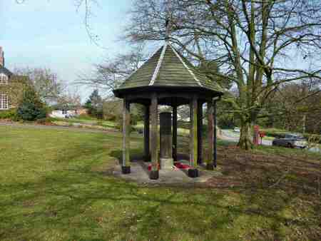
Situated four miles to the southeast of Derby city centre, Boulton is closely associated with its neighbouring suburb of Alvaston. It is recorded in the Domesday Book when it belonged to Ralph FitzHerbert. For many centuries the area consisted of open fields and farmland with Boulton Moor to the south. Today, the area to the north is largely built-up. The church is dedicated to St Mary the Virgin, usually referred to as Boulton St Mary’s. Built about 1150, it has been extended and rebuilt since then but still retains some of the original Norman fabric. The Lychgate is a war memorial in memory of those who lost their lives in the First World War.
Nunsfield House on Boulton Lane is located close to the main Alvaston shopping area. Built in 1828, it had various owners before being acquired by Derbyshire County Council and later Derby City Council. It is Grade II listed and used as a community centre. In 1935 a community hall called the Jubilee Room was added. Boulton Moor has been designated for a very large housing development project.
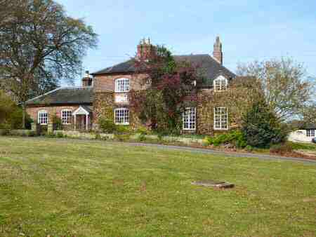
BRETBY
Tucked away in the southwest corner of Derbyshire is the small attractive village of Bretby. The castle at Bretby, became the ancestral home of the Earls of Chesterfield after the honour was bestowed on the Stanhope family by King Charles I, The fifth Earl demolished the castle and built the present hall, which stands in parkland about one mile from the village. It served as an orthopaedic hospital, before being converted into luxury accommodation. The church and former Bradby School overlook a large village green
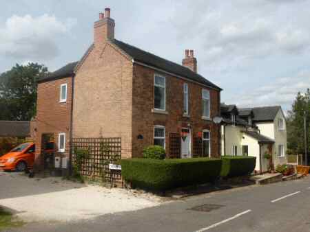
BURNASTON
The pretty village of Burnaston was probably founded at the same time as Etwall and Bearwardcote between 450 and 550 AD. It sits on a popular footpath that links Mickleover and Etwall. In the surrounding fields, it is possible to identify the ridge and furrow pattern created by medieval ploughing.
Burnaston House was taken down stone by stone to make way for the Toyota car factory site. Everything was renumbered and stored for eventual re-election, but at the time of writing, no planning permission has been granted. The house was built for Ashton Nicholas Every Mosley a relation of the Every family of Egginton.