LITTLE EATON WALK
THE WALK
This lovely relaxing walk provides a peaceful antidote to the hustle and bustle of Derby City Centre and the busy A38 only a short distance away. The walk follows mainly well-established footpaths and surfaced paths, which afford good views of the attractive countryside around Little Eaton.
LOOK OUT FOR
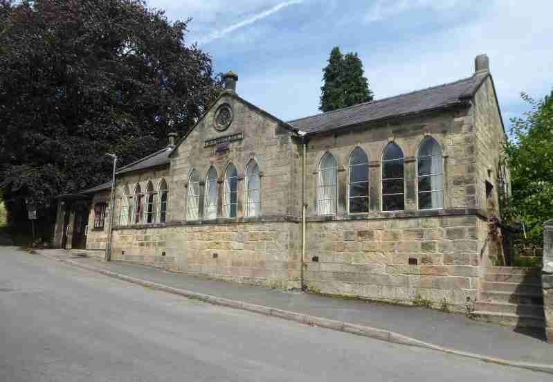
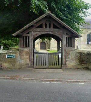
Route Point 1 – St Paul’s Church was built in 1791, with money raised by voluntary subscription. Its Lychgate serves as a memorial to the men who fell in the First World War. Their names together with those who lost their lives in the Second World War are inscribed on plaques inside the gate. To the west of the church is the Parish Room which was originally the National School but is now used for local activities
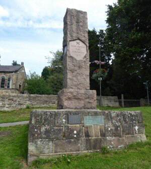
Point 2 – St Peter’s Park – Thomas Bates, a prominent figure in Little Eaton, was born in a house on Duffield Road and was educated at the local National School. When he died in 1903, he left £1,000 to the village for the laying out of a park. He had previously donated the land. According to his will the park was to be called St Peter’s Park. Considering his devotion to St Paul’s Church this surprised local people until it was learned he was born on St Peter’s Day, 29 June.
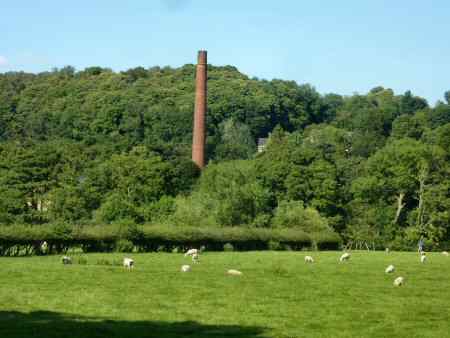
Point 3 – There was a working corn mill on the site of the present Peckwash Mill in the 13th century. By the 17th century the mill had turned to paper making under the ownership of Thomas Tempest, but also continued to grind corn until 1793. The mill was rebuilt with turbines replacing water wheels, and it became one of the biggest paper mills in the country. A magnificent brick chimney was erected in 1895, but this led to a local man obtaining a permanent injunction preventing the emission of smoke from the chimney. This resulted in the business going into liquidation.
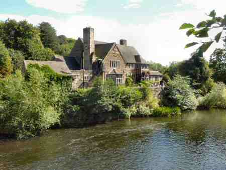
Point 4 – The Bridge Inn is on the corner of Eaton Bank and Makeney Road next to Duffield Bridge (Eyes Bridge) which was widened in the 18th century and became the main road to the north. On the western side of the river The Parish church of St Alkmund’s stands in the water meadows of the River Derwent. It is thought that it is positioned so far from the village because in Anglo-Saxon times it served travellers crossing the river.
Point 6 – The Midshires Way was opened in 1994 and is a long-distance footpath and bridleway that runs for 230 miles from the Chiltern Hills near Bledlow in Buckinghamshire to Stockport, Greater Manchester. It also links several other long-distance walking routes. It is intended as a multi-user trail but there are places where the recommended route for walkers differs from the route for horse riders and cyclists.
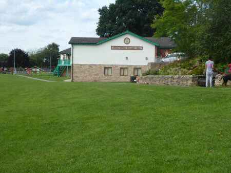
Point 9 – Little Eaton Village Hall, which opened in 2010 is located in St Peter’s Park. It is used by a wide range of clubs/groups of people in the village. One corner of the park contains a children’s play area, with swings, slides, tunnels and monkey bars. The rest of the park is given over to a football pitch, cricket pitch and tennis courts. It is also used as the village primary school’s playing field, the school lacking a field of its own. In late June/early July, the village carnival is held in the park.
WALK DETAILS
Length: 3.75 miles approximately. There are some tricky sections – please carry Ordnance Survey Map – OS Explorer 259
Start: Church Lane; nearby parking is available in the village streets, but please park considerately. Little Eaton is located on the B6179, just to the north of Derby. Easy access is available from the A38 both on the northern and southern sides of the village.
Terrain: There are some short, but fairly steep ascents and descents on this walk. Parts of the walk can be quite muddy and slippery after rain.
THE ROUTE
- Turn left at the top of Church Lane and walk-up Vicarage Lane, in front of St Paul’s Church.
- Continue with St Peter’s Park on your left. Until where the houses end and the road bends to the right cross a stile on your left. To walk along a well-trodden path, which soon enters an area of woodland. Maintain the same direction, keeping to the main path as it leaves and re-enters the wood.
- After descending a slope and reaching an access track, turn sharp left and descend to Duffield Road which soon changes its name into Eaton Bank. Here you turn right and walk along the footpath for 350 yards, before turning left down the path that runs alongside the drive to Peckwash Mill.
- Follow the path around to the right, alongside the perimeter wall to the mill. When the wall ends, continue in the same direction across two fields, keeping close to the field boundaries on your right. Until, just before reaching the end of the second field, go over a stile and walk along a narrow path to the road. The Bridge Inn is on your left.
- Turn sharp right and walk up Duffield Bank towards Little Eaton for about 100 yards. Before, immediately after passing the Gate House, turning left to continue in front of a row of cottages. At the end of which you turn right up a steep slope and continue up a flight of steps.
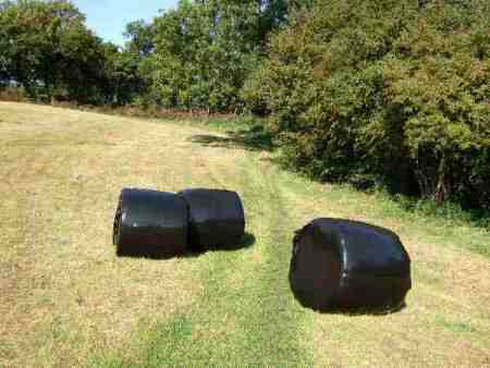
- Having reached the top, follow an obvious path to go through a stile in the top right-hand corner. Keeping close to the hedge on your right cross the next three fields along the Midshires Way. In the fourth field continue remaining close to the hedge, before going over a stile in the right-hand corner.
- Walk along a woodland path, before going over a stile on the right. From this point ensure you follow the path that keeps to the right of the wood. Where the boundary to the wood swings to the left, continue straight on down a discernible grass track to a stile at the bottom of the field.
- Continue in the same direction to a stile in the corner of the second field. Keep left in the third field and keep close to the hedge to reach a stile near the left-hand corner. Follow the obvious path through more fields, keeping close to the hedge on your left, until you are opposite Park Farm, where you cross a stile and go to the right.
- Follow the path to the access road to Park Farm, where you go to the left and follow the road around back to Little Eaton. The latter section of the walk follows the same route you used earlier and passes the Village Hall.
