BARROW-ON-TRENT
INFORMATION
Where is it? – (SK353285). The village is south of Derby, between the River Trent(to the south) and the Trent and Mersey Canal (to the north). It can be accessed from the A5132 at both ends of the village.
What to do? – Take a short circular walk down Chapel Lane. Then pick up the footpath to Church Lane, turn right and follow the lane back past St Wilfrid’s Church; go on a longer walk by the River Trent to Swarkestone and back; explore the Conservation Area with its many different building styles and mature trees.
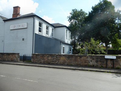
Where to eat? – The Brookfield is a friendly village pub that serves meals. For more information visit Facebook or telephone 01332 700128.
Other places to visit – Elvaston Castle Country Park was the first to open in Britain. Set on 200 acres of parkland with an ornamental lake, extensive gardens, stony grottoes, rock archways and many other exciting features. Open daily; take a look at the Ferrers Centre for Arts and Crafts, located in the Georgian Stable Block of Staunton Harold Hall, where a wide range of goods can be obtained; try a visit to Melbourne a fascinating little town, with a wealth of historic buildings, a country house with formal gardens and one of the finest Norman churches in the country.
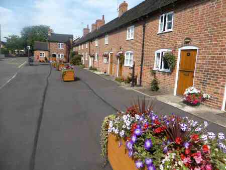

PROFILE
Barrow-on-Trent is a quiet, unspoilt South Derbyshire village that lies between the river and canal. Its location has much to do with the richness and fertility of the soil of the floodplain. There is widespread evidence of ancient occupation all along the banks of the River Trent, especially around Barrow-on-Trent and Swarkestone. Until the end of the Second World War, the village was comprised mainly of a few farms and cottages.
Today, Barrow-on-Trent does not have any shops or a post office but does have a public house, The Brookfield. The building of a bypass has kept the traffic away from the centre of the village. However, since the 1950s, the popularity of this attractive riverside village has grown and the housing stock increased. Several small housing developments and individual properties have been built. But the shape of the village has remained virtually unchanged over the past three hundred years.
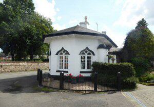
TRANSPORT
Originally river transport was important in taking goods in and out of the parish. Until the 18th century, when the Trent and Mersey Canal was cut across the northern section of the parish. This took the trade away from the river and in the following century, it was the turn of the railways to dominate trade. The 20th century saw the A50 follow much the same line as both the canal and railway and made it much easier to commute.
ST WILFRID’S CHURCH
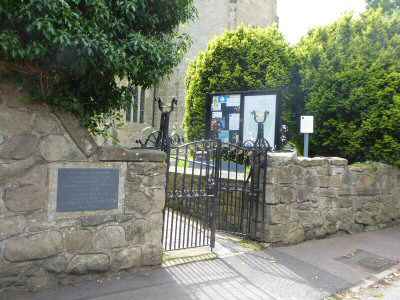
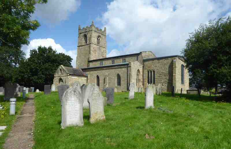
The medieval stone church of St Wilfrid’s has been a place of worship for over 1,000 years and is dedicated to the Anglo-Saxon Saint St Wilfrid. In 1165, it was gifted to the Knights Hospitallers of St John together with the surrounding land. It has changed little over time and contains many interesting features including sharpening points for arrowheads. After the Black Death in 1349, there was a shortage of archers and Edward III ordered men throughout the country to practice their archery skills after Sunday service. As most family’s homes were constructed of wood the best place to sharpen arrowheads was on the stone church.
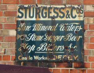
HISTORIC DISORDERS
Today, Barrow-on-Trent is a peaceful place with walkers often outnumbering vehicles at the weekend. But this was not the case in 873. When the villagers witnessed boatloads of warlike Vikings going up the river to Repton where they made their home. In 1745, they experienced the plundering of their land by the advanced force of Bonnie Prince Charlie’s army as they were given the order to retreat from Swarkestone a mile downstream.
PARISH COTTAGES
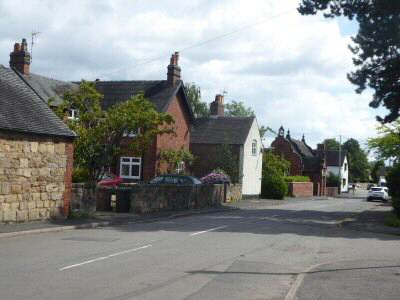
In the centre of the village are ten attractive Grade II listed cottages, described as ‘The Row’. The cottages built in the 18th century belong to the parish, not as a housing authority, nor as almshouses, but uniquely to Barrow as private property. The Parish Council acts as a private landlord and the rental income from the properties is used to maintain and upgrade them. Any surplus income is used for the benefit of the parish. The cottages are available for the use of parishioners and very close family members.
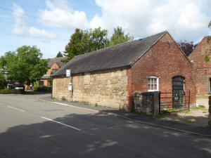
CONSERVATION AREA
The conservation area is made up of two distinct areas. The open riverfrontage development along Church Lane and the tight-knit settlement fronting Twyford Road clustered around the junction of Chapel Lane, Brookfield and Church Lane. A striking contribution to the area is made by mature trees in village gardens.
SALE AND DAVYS VILLAGE SCHOOL
Both the former and new Sale and Davys School are to be found on opposite sides of Twyford Road. The old school now in private hands is particularly eye-catching. It was built by a public subscription in 1843. It incorporates Jacobean features which are uncommon in the village. Decorative scrolled and moulded coped gables, topped with a bell-cote and giant stone finial, give the building a dominant appearance.
